Three from the Road #17 – 2010 tripa

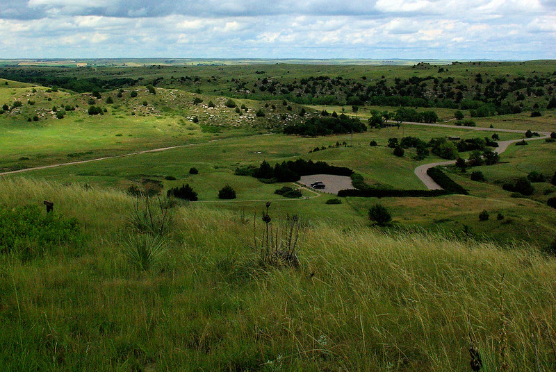
Top of Windlass Hill, looking down into the hollow
Ash Hollow State Historical Park, Nebraska, July 8, 2010
Ash Hollow
After negotiating the climb up California Hill, the emigrants traveled for 18 miles across the high tableland between the South and North Platte rivers before descending into the North Platte Valley through Ash Hollow. Ash Hollow, one of the major landmarks on the Oregon Trail, was labeled “The Gateway to the- North Platte Valley.” In addition to being a physical landmark, Ash Hollow was one of the most famous campsites on the entire trail, for it offered wood, pure water, and grass for the stock. Wood was a scarce commodity on the treeless great plains and made a pleasant change from burning buffalo chips, and the fresh water from Ash Hollow Springs was a special treat after several weeks of obtaining water from the Platte River. In short, Ash Hollow was an idyllic campsite–an oasis of beauty on the generally drab and dreary Great Platte River Road.
Entrance to Ash Hollow was by way of Windlass Hill, where the Oregon Trail dropped from the high tableland between the rivers into the ravine which formed Ash Hollow. This 25° slope of 300 feet length was the first really steep grade encountered on the Oregon Trail, and the impression made upon emigrants was particularly vivid. The hill was usually negotiated by rough-locking the wagon wheels and using ropes to carefully lower the wagons. An 1849 emigrant complained that it took three hours to safely descend the hill. (The name of Windlass Hill post-dates the emigration period, and there is no evidence that a windlass was ever used to lower wagons down the grade.)1

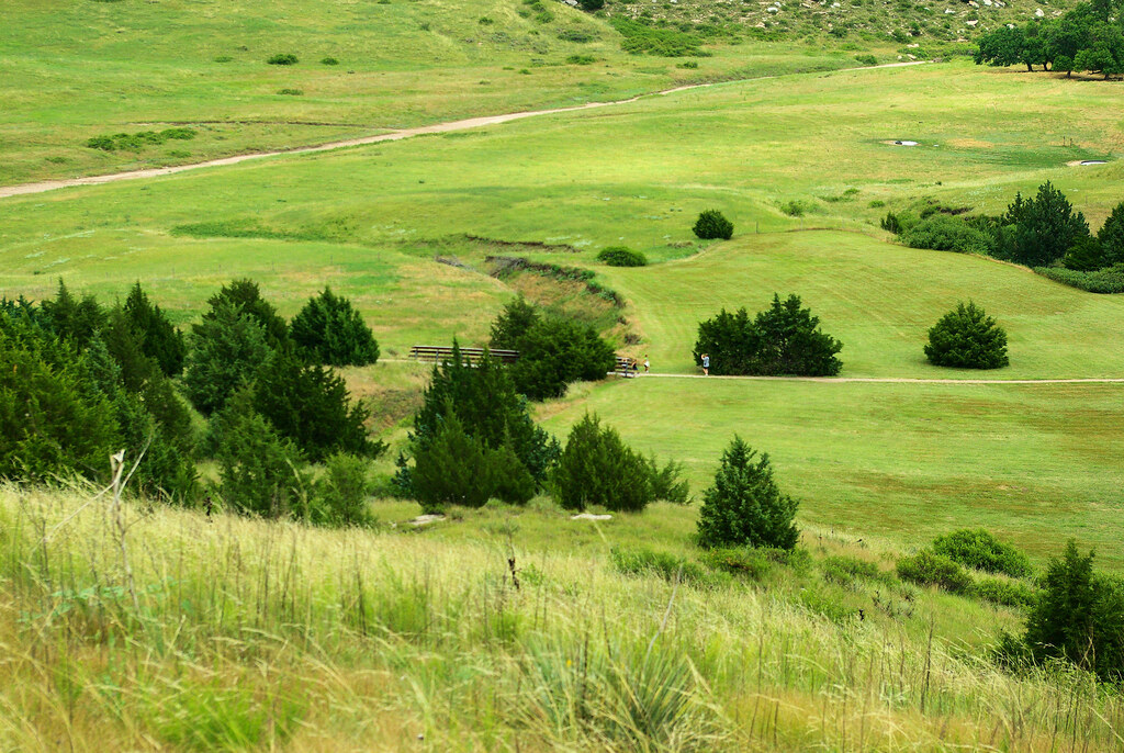
Looking down from Windlass Hill, the “ditch” in the center of the image is the eroded trace left from the Oregon/California trail traffic.
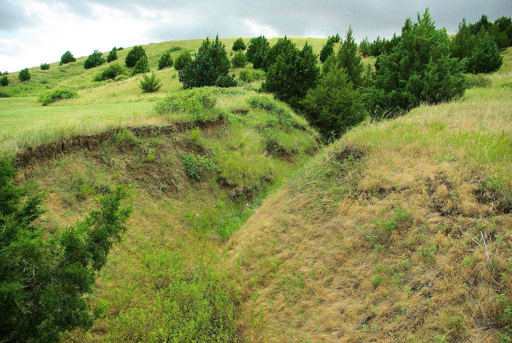
Windlass hill is scarred by deeply eroded ruts cut by thousands of wagons sliding downhill with their wheels locked. A paved (but steep) walking trail with outdoor exhibits leads visitors along the ruts to the top of the hill, where hikers are rewarded with a vista of Ash Hollow and the Platte River.2

This ravine on Windlass Hill eroded from the trace left by Oregon/California trail traffic.
Sources:
- Ash Hollow – Oregon National Historic Trail, Comprehensive Management and Use Plan B1; Comprehensive Management and Use Plan Appendices: Environmental Impact Statement, Issue 3, page 90; National Park Service, 1981 (accessed 10/14/2016)
- Windlass Hill – National Historic Trails Auto Tour Route Interpretive Guide, Nebraska and Northeastern Colorado, page 51
References:
- Ash Hollow Complex – California National Historic Trail, National Park Service
- Ash Hollow State Historical Park
Notes:
- Three from the Road is a series sharing images from places we’ve visited. Initially, each post included thee images, related by a randomly selected location or topic. Posts now may be random choices or pre-planned sequences. This post is in a series sequentially sharing images from our 2010 trip west.

