Photography Now & Then #111
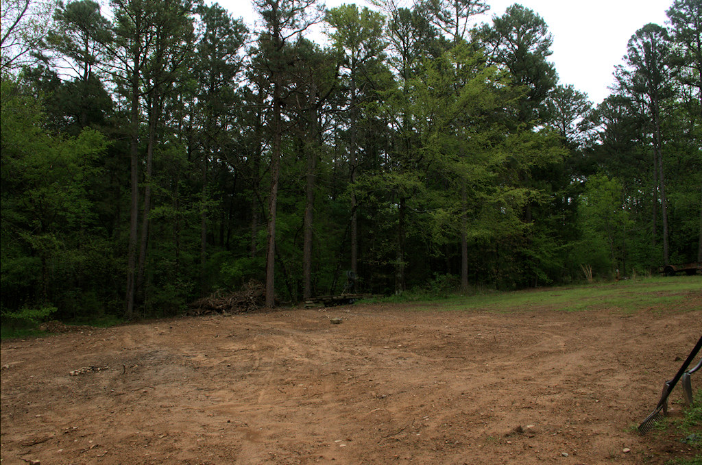
After the earthwork, tree removal and installation of new lateral lines, our backyard looks a lot different. Though not severe, the slope of our land has always been obvious when out in the yard, but not so much in photos. For this photo, I deliberately held the camera level – it actually has a built-in electronic level – and the slope is readily apparent.

Now: Sloping backyard after earthwork, tree removal and septic line work, southern Ozarks, west-central Arkansas April 22, 2018 (Pentax K-3 II)
______________________________________
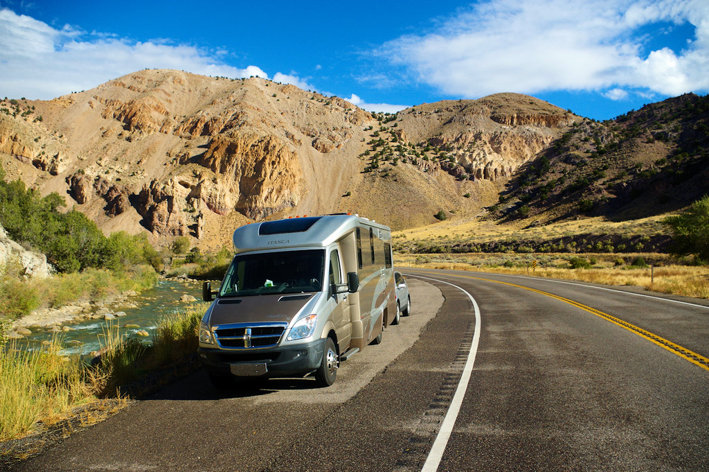
All too often, we don’t get photos of the land we are traveling through when we are on on our way to our next stopping spot. Traveling from Grand Junction, Colorado to the Bryce Canyon area in Utah, we took quite a few photo stop opportunities.

Then: Next to Sevier River on US Hwy 89, about 18 miles from Richfield, Utah (Pentax K-3 II)
Photography Now & Then Notes:
- Series Photos
- The Now photo is one that is almost always taken the day of the blog post. In some instances, posts may be backdated if internet access is not available on the day of the photo or other reasons prevent posting Photography Now and Then.
- The Then photo is usually a randomly selected older photograph from a batch of photos specifically “curated” for Photography Now and Then.
- Each photo in this series is an “original work” – a copyright term – of Michael Goad.
- Reference links were accessed on the date the blog post was published, unless otherwise stated.
- The title convention for Photography Now & Then blog posts evolved early on from one word related to each photo separated by “&” to usually being the first word in the caption description for each photo.

