Post-processing1 #23 |
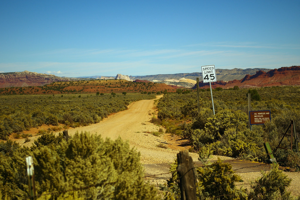
Old Spanish Trail and road to Paria (aka Pahreah), Utah, ghost town, Grand Staircase-Escalante National Monument, October 9, 2015 (Pentax K-3 II) 37°11’10″N 111°59’44″W
While tempting, we didn’t take this road as we were just passing through and had only pulled into pulled into a view area for a stretch and photo break. US 89, which we were traveling on, is part of the Old Spanish National Historic Trail.
Old Spanish Trail2
Across this point, Antonio Armijo and 60 men ventured from New Mexico to California hoping to find a new trade route in 1829. Following establish Native American trails, the explorers traveled through dry, rugged country for 86 days until they reached San Gabriel Mission near Los Angeles, on January 30, 1830.
The trip turned out to be a lucrative endeavor. Armijo and his men traded woolen goods for horses and mules. Upon their return to New Mexico, the men sold their stock at premium prices, encouraging other traders to seek their fortune the same way.
Subsequent expeditions to California took more northerly routes for better water resources. The various routes, including Armijo’s original, together were designated as the Old Spanish National Historic Trail in 2002.
- Post-processing – Image editing to enhance the photo closer to what the eye “saw.” Images in this series are selected within a day or so of being edited and are either posted at the time or scheduled for posting at a later date.
- Old Spanish Trail – National Park Service interpretive sign, Grand Staircase-Escalante National Monument (37°11’10″N 111°59’44″W)


