Harpers Ferry

Camping and Travel Daily Image No. 41
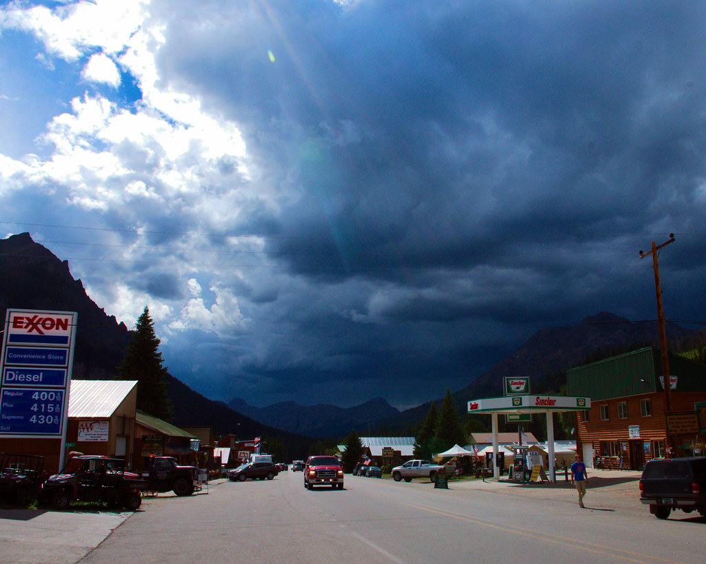
Harpers Ferry, Harpers Ferry National Historical Park, West Virginia, May 15, 2009

Harpers Ferry, Harpers Ferry National Historical Park, West Virginia, May 15, 2009

All of the buildings in the photo are inside the historic park.

Harper’s Ferry, West Virginia

Wikipedia
Accessed July 28, 2022

Harpers Ferry is a historic town in Jefferson County, West Virginia, United States, in the lower Shenandoah Valley. The population was 285 at the 2020 census. Situated at the confluence of the Potomac and Shenandoah rivers, where the U.S. states of Maryland, Virginia, and West Virginia meet, it is the easternmost town in West Virginia and during the Civil War was the northernmost point of Confederate-controlled territory. It has been called “the best strategic point in the whole South.”

The town was formerly spelled Harper’s Ferry with an apostrophe, so named because in the 18th century it was the site of a ferry service owned and operated by Robert Harper. The United States Board on Geographic Names, whose Domestic Name Committee is reluctant to include apostrophes in official place names, established the standard spelling of “Harpers Ferry” by 1891.

By far, the most important event in the town’s history was John Brown’s raid on the Harpers Ferry Armory in 1859.

Prior to the Civil War, Harpers Ferry was a manufacturing town as well as a major transportation hub.

The main economic activity in the town in the 20th and 21st centuries is tourism. John Brown’s Fort is the most visited tourist site in the state of West Virginia. The headquarters of the Appalachian Trail are there—not the midpoint, but close to it, and easily accessible—and the buildings of the former Storer College are used by the National Park Service for one of its four national training centers. The National Park Service is Harpers Ferry’s largest employer in the 21st century.

The lower town has been reconstructed by the National Park Service. It was in ruins at the end of the Civil War, not helped by later river flooding. “The fact that Harpers Ferry was first and foremost an industrial village during the 19th century is not apparent in the sights, sounds, or smells of the town today.” [Gilbert, David T. (1995). A Walker’s Guide to Harpers Ferry West Virginia (5th ed.). Harpers Ferry Historical Association.]


Great Falls

Camping and Travel Daily Image No. 40
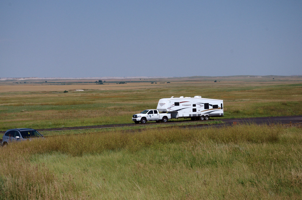
2006 GMC Sierra and 2006 Heartland Bighorn Fifthwheel RV, Great Falls KOA, Montana, September 2007

2006 GMC Sierra and 2006 Heartland Bighorn Fifthwheel RV, Great Falls KOA, Montana, September 2007

Great Falls KOA

The Great Falls KOA website says, “Located in an oasis of trees, flowers and gardens, Great Falls KOA offers unique views similar to the ones that Lewis and Clark experienced.”

We haven’t been there since 2007, but that wasn’t our experience.  We could see out across the countryside from the south end of the campground in only one direction and that view was marred by smoke from wildfires that had been persistent that summer.  And the countryside was farmland, which certainly wasn’t there in the early 19th century when Lewis and Clark passed through.

Inside the campground “oasis,” there were more trees, shrubs, and other vegetation planted than I have seen in any other campground we’ve been in, so much so that there was plenty of privacy between camping sites.

For large vehicles, there may be too much vegetation.  At the time, we had a 30-foot high profile 5th wheel camper that we towed behind our pickup truck.  To fit into our assigned site, the office had to send workers out to trim branches.

That’s a bit too much vegetation in my opinion.


Wallace Street

Camping and Travel Daily Image No. 39
Wallace Street, Highway 287, Virginia City, Montana, September 2, 2014

Wallace Street, Highway 287, Virginia City, Montana, September 2, 2014

Virginia City

Wikipedia
Accessed July 27, 2022

Virginia City is a town in and the county seat of Madison County, Montana, United States. In 1961 the town and the surrounding area were designated a National Historic Landmark District, the Virginia City Historic District. The population was 219 at the 2020 census.

In May 1863, a group of prospectors were headed toward the Yellowstone River and instead came upon a party of the Crow tribe and was forced to return to Bannack. On May 26, 1863, Bill Fairweather and Henry Edgar discovered gold near Alder Creek. The prospectors could not keep the site a secret and were followed on their return to the gold bearing site. A mining district was set up in order to formulate rules about individual gold claims. On June 16, 1863, under the name of “Verina” the township was formed a mile south of the gold fields. The name was intended to honor Varina Howell Davis, the first and only First Lady of the Confederate States of America during the American Civil War. Verina, although in Union territory, was founded by men whose loyalties were thoroughly Confederate. Upon registration of the name, a Connecticut judge, G. G. Bissell, objected to their choice and recorded it as Virginia City.

Within weeks Virginia City was a boomtown of thousands of prospectors and fortune seekers in the midst of a gold rush. The remote region of the Idaho Territory was without law enforcement or justice system with the exception of miners’ courts. In late 1863, the great wealth in the region, lack of a justice system and the insecure means of travel gave rise to serious criminal activity, especially robbery and murder along the trails and roads of the region. Road agents as they became known were ultimately responsible for up to 100 deaths in the region in 1863 and 1864. This resulted in the formation of the Vigilance committee of Alder Gulch and the infamous Montana Vigilantes. Up to 15 road agents were hanged by the vigilantes in December 1863 and January 1864, including the sheriff of Bannack, Montana and alleged leader of the road agent gang, Henry Plummer.

The Montana Territory was organized out of the existing Idaho Territory by Act of Congress and signed into law by President Abraham Lincoln on May 26, 1864. Although Bannack was the first territorial capital, the territorial legislature moved the capital to Virginia City on February 7, 1865. It remained the capital until April 19, 1875, when it moved to Helena, Montana. Thomas Dimsdale began publication of Montana’s first newspaper, the Montana Post, in Virginia City on August 27, 1864. Montana’s first public school was established in Virginia City in March 1866.

.


Bounder

Camping and Travel Daily Image No. 38
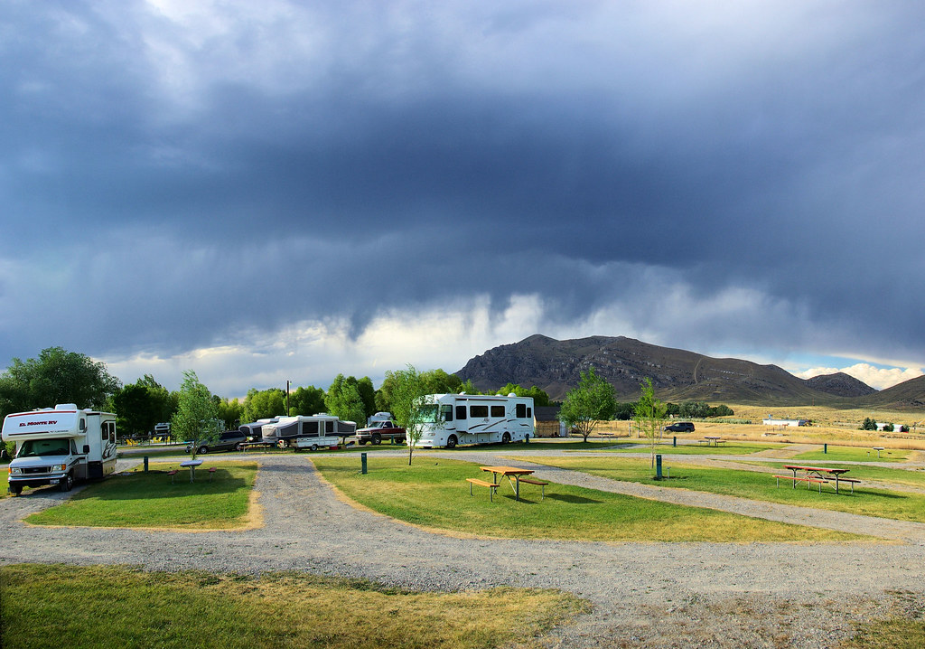
Class A Bounder motorhome parked in Virginia City, Montana, September 2, 2014

Class A Bounder motorhome parked in Virginia City, Montana, September 2, 2014

Bounder

from 2019 promotional literature.

A brand named from a suggestion of a journalist, Fleetwood Enterprises built the first Bounder motorhome in 1985. Between 20.5 and 40 feet in length, Bounder Class A motorhomes provide a choice of gasoline or diesel engines. The Bounder line of recreational vehicles has continued to be a popular motorhome for campers and vacationing families.

Built to tour for a week without relying on external hookups or supplies, Bounder class A motorhomes are fully equipped to deliver the freedom of the open road.

The Bottom Line:
For comfort, convenience, and family fun in a class A motorhome that is designed to tour, the Bounder remains the benchmark for the industry.


New Mexico Raspberry

Camping and Travel Daily Image No. 37
New Mexico raspberry, Rubus neomexicanus, Capulin Volcano National Monument in New Mexico, June 13, 2021

New Mexico raspberry, Rubus neomexicanus, Capulin Volcano National Monument in New Mexico, June 13, 2021, photographed on the rim of the extinct volcano

New Mexico raspberry

Despite its distinctly unroselike appearance and lack of thorns or prickles, new mexico raspberry (Rubus neomexicanus) is indeed a member of the expansive rose family (Rosaceae). This species bears small white flowers, which soon give way to red berries. It is exclusively found in the southwestern United States, accounting for its common name.

Capulin Volcano

Capulin Volcano National Monument is located in northeastern New Mexico. It protects and interprets an extinct cinder cone volcano and is part of the Raton-Clayton Volcanic Field. A paved road spirals gradually around the volcano and visitors can drive up to a parking lot at the rim of the extinct volcano. Hiking trails circle the rim as well as lead down into the mouth of the volcano. The monument was designated on August 9, 1916 and is administered by the National Park Service. The volcano is located 5 kilometres (3.1 mi) north of the village of Capulin.


65 queries in 0.460109 seconds.