Three from the Road #20 – 2010 trip1

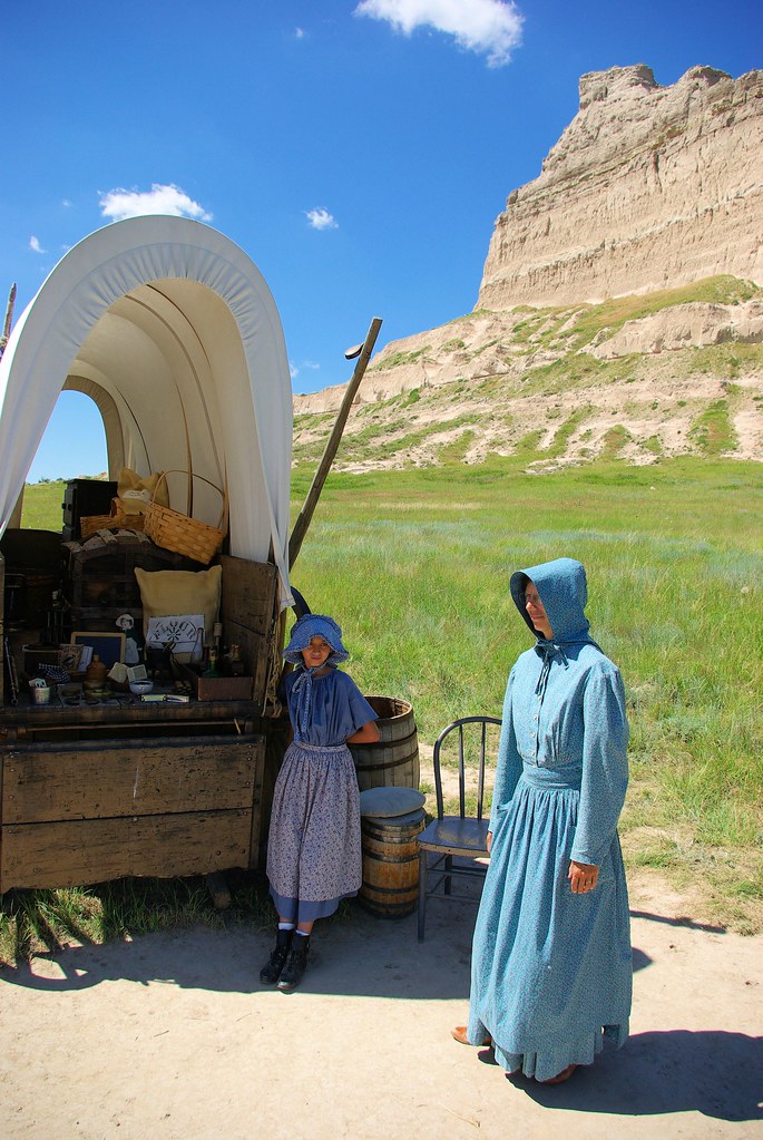
Historical Interpreters in Period Dress, Scotts Bluff National Monument, Nebraska, July 9, 2010.
In the early years of travel on the Emigrant Trails (Oregon, California, and Mormon), Scotts Bluff in western Nebraska blocked wagon travel along the south bank of the North Platte River, forcing early travelers to swing south and go through Robidoux Pass, a natural gateway in the great bluffs. In 1850, a shorter route was opened through Mitchell Pass, just south of the monument itself and much closer to the Platte River and eliminated the eight-mile swing south.2

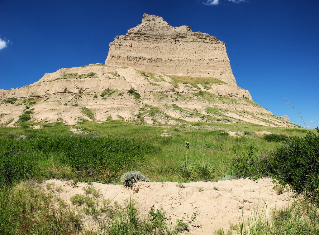
A portion of Scotts Bluff viewed from the remnant traces of the Emigrant Trails in Mitchell Pass
Mitchell Pass is a gap in the bluffs flanked by two large cliffs. Although the route through Mitchell Pass was tortuous and hazardous, many emigrants preferred this route to following the North Platte river bottom on the north side of the bluff. Passage through Mitchell Pass became a significant milestone for many wagon trains on their way westward.3

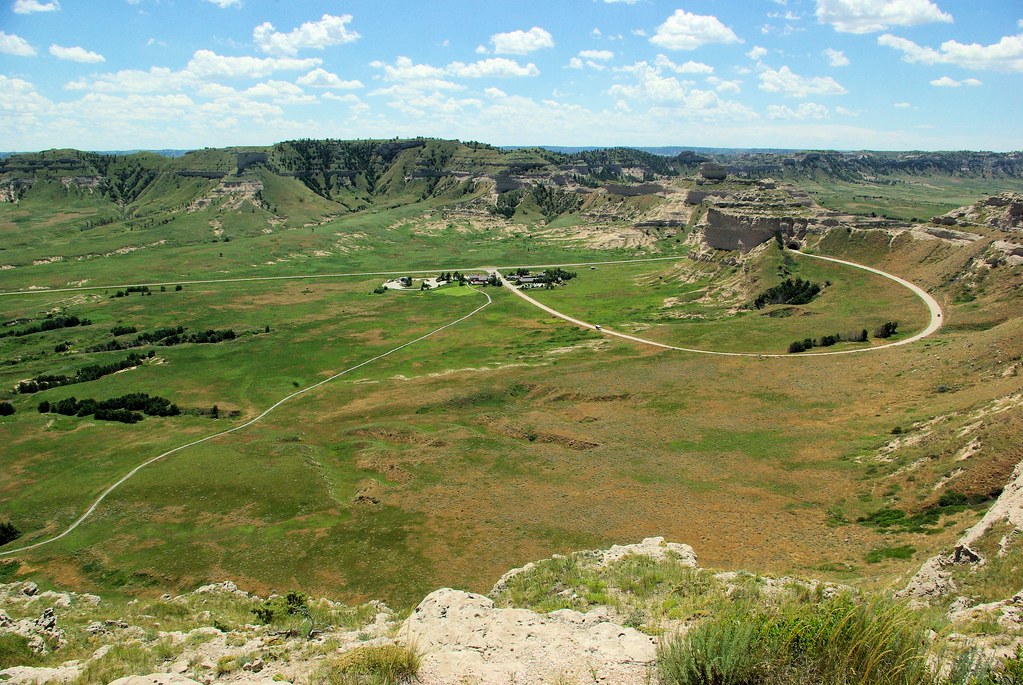
View from top of Scotts Bluff
Today’s Scotts Bluff County Road K – Old Hwy 92 – passes through historic Mitchell Pass. The straight modern road in the photo, it parallels remaining traces of emigrant trails through the pass.
- Three from the Road is a series sharing images from places we’ve visited. Initially, each post included thee images, related by a randomly selected location or topic. Posts now may be random choices or pre-planned sequences. This post is in a series sequentially sharing images from our 2010 trip west.
- Robidoux Pass – Wikipedia
- Scotts Bluff National Monument – Wikipedia
Additional References:
- Scotts Bluff National Monument
- National Park Service
- Hiram Scott – The Life and Legend of Hiram Scott
- Oregon Trail Pathway
- Wikipedia
- Wikitravel
- National Park Service

