We’ve been traveling to Benton County, Arkansas, since just after we married in 1972. Karen’s family had moved there a couple of years earlier.
At that time, the county’s population was around 56,000. By the time we moved to Pope County, Arkansas after I got out of the Navy in 1980, Benton County’s population was up to 78,115.
Benton County’s average population increase since 1960 has been about 41% per decade. The population in 2020 was 284,333.1 With that kind of population rise, long-term infrastructure planning and construction2 has been and continues to be essential.
In 1966, Benton County, Washington County, and the cities of Bentonville, Fayetteville, Rogers, Siloam Springs, and Springdale formed the Northwest Arkansas Regional Planning Commission (NWARPC). In 1983, it was designated as the region’s “Metropolitan Planning Organization (MPO) under U.S. DOT regulations for transportation planning purposes. The MPO is designated by the Governors of Arkansas and Missouri to conduct the federally mandated 3C (Comprehensive, Continuing and Cooperative) planning process necessary for transportation projects to qualify for federal transportation funds.” With the continued growth of the region, today “NWARPC’s membership includes 35 units of government in Benton, Madison, and Washington Counties, Arkansas; McDonald County and Pineville, Missouri; the Arkansas State Highway and Transportation Department (AHTD); the Missouri Department of Transportation (MoDOT); transit agencies; and Beaver Water District.”3
The Arkansas Economic Development Institute (AEDI) in 2019 projected that by 2045 Benton County will reach a population of 545,893 people with 428,382 in neighboring Washington County for a total of 974,275.4
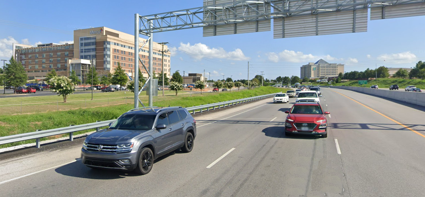
In the 80s, our normal 150 miles or so drive to my in-law’s home was west on Interstate5 40 to Alma and, from there, north over the Boston Mountains on mostly two-lane highways that sometimes saw heavy traffic. The route went through every town along the way, big and small. With the top speed limit 55 mph, even on the interstate, depending on traffic we’d be lucky to get up there in under 4 hours. Needless to say, we didn’t drive up and back the same day.
Over time, our trips’ duration shortened as new four-lane roads were added bypassing many of the towns and cities, with the first being a bypass around Fayetteville. Today all but 16.5 miles of the original trip would be by interstate highways.
Recently, our youngest daughter, Jessica, and her husband and daughter, Shane and Ciera, moved back to Arkansas, buying a place in Benton County that is 8 miles further from us than Karen’s parents’ place was. All but 12.5 miles is by the interstate. The speed limit is 75 mph over most of the route and driving time is about 2.5 hours.
On September 30, a ribbon-cutting ceremony will mark the completion of the Belle Vista Bypass, also called the Missouri-Arkansas Connector, opening a new 18.9 mile part of Interstate 49—connecting the previously completed portions of the interstate in Missouri and Arkansas. The governors of Arkansas and Missouri will join other state officials and legislators at the Arkansas-Missouri state line for the celebration. The completion of the project links 265 miles of Interstate 49 from Fort Smith, Arkansas to Kansas City, Missouri. It will officially open on October 1.6
- “Benton County, Arkansas.” Wikipedia, as of edit of August 27, 2021. Accessed September 27, 2021. https://en.wikipedia.org…Benton_County….
- Through the 1980s into the 1990s, highway and street construction companies in Northwest Arkansas had an off-season during the cooler months where most of their employees were laid off because of lack of demand. The explosive growth of the region has kept road construction workers employed year-round for many years.
- “About NWARPC.” Northwest Arkansas Regional Planning Commission. Accessed September 28, 2021. https://www.nwarpc.org/nwarpc/.
- “NWA Metropolitan Transportation Plan.” Chapter 3, Population, Housing, and Landuse. Northwest Arkansas Regional Planning Commission. Accessed September 28, 2021. https://www.nwarpc.org…Chapter 3.
- The U.S. Interstate Highway System is a network of controlled-access highways. A fully controlled-access highway provides an unhindered flow of traffic, with no traffic signals, intersections or property access. They are free of any at-grade crossings with other roads, railways, or pedestrian paths, which are instead carried by overpasses and underpasses. Entrances and exits to the highway are provided at interchanges by ramps, which allow for speed changes between the highway and arterials and collector roads. On the controlled-access highway, opposing directions of travel are generally separated by a median strip or central reservation containing a traffic barrier or grass. Elimination of conflicts with other directions of traffic dramatically improves safety and capacity.
- “Interstate Highway System.” Wikipedia, as of edit of September 10, 2021. Accessed September 28, 2021. https://en.wikipedia.org…Interstate_Highway_System.
- “Controlled-Access Highway.” Wikipedia, as of edit of September 25, 2021. Accessed September 28, 2021. https://en.wikipedia.org…Controlled-access_highway.
- Della Rosa, Jeff. “Bella Vista Bypass to OPEN Oct. 1 as Part of Interstate 49.” Talk Business & Politics, September 17, 2021. Accessed September 28, 2021. https://talkbusiness.net…bella-vista-bypass….

