Post-processing1 #28 |
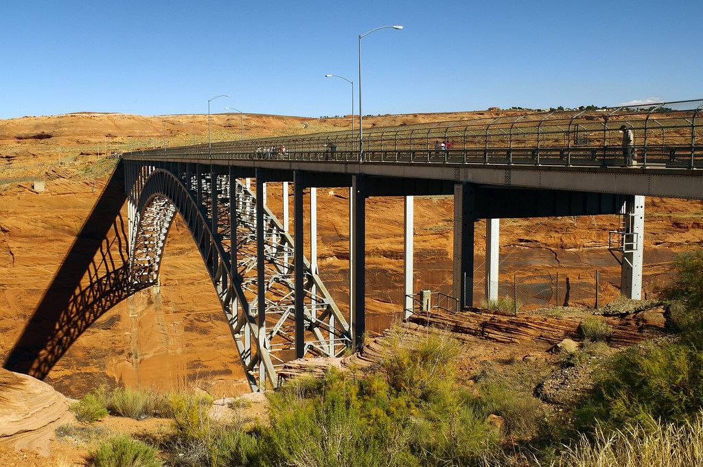
Glen Canyon Dam Bridge, US 89, Page, Arizona, October 10, 2015 (Pentax K-3 II from 36°56’07.0″N 111°29’07.8″W)
Glen Canyon Dam Bridge2
The Glen Canyon Bridge or Glen Canyon Dam Bridge is a steel arch bridge in Coconino County, Arizona, carrying U.S. Route 89 across the Colorado River. The bridge was originally built by the United States Bureau of Reclamation to facilitate transportation of materials for the Glen Canyon Dam, which lies adjacent to the bridge just 865 feet (264 m) upstream. The two-lane bridge has an overall length of 1,271 feet (387 m) with a deck 700 feet (210 m) above the river, making it the one of the highest bridges in the United States. The bridge was the highest arch bridge in the world when completed in 1959.
The dam and bridge are in Glen Canyon National Recreation Area, as is the Colorado River under the dam and downstream to Marble Canyon, Arizona.
- Post-processing – Image editing to enhance the photo closer to what the eye “saw.” Images in this series are selected within a day or so of being edited and are either posted at the time or scheduled for posting at a later date.
- Glen Canyon Dam Bridge – Wikipedia


