Photography Now & Then #86
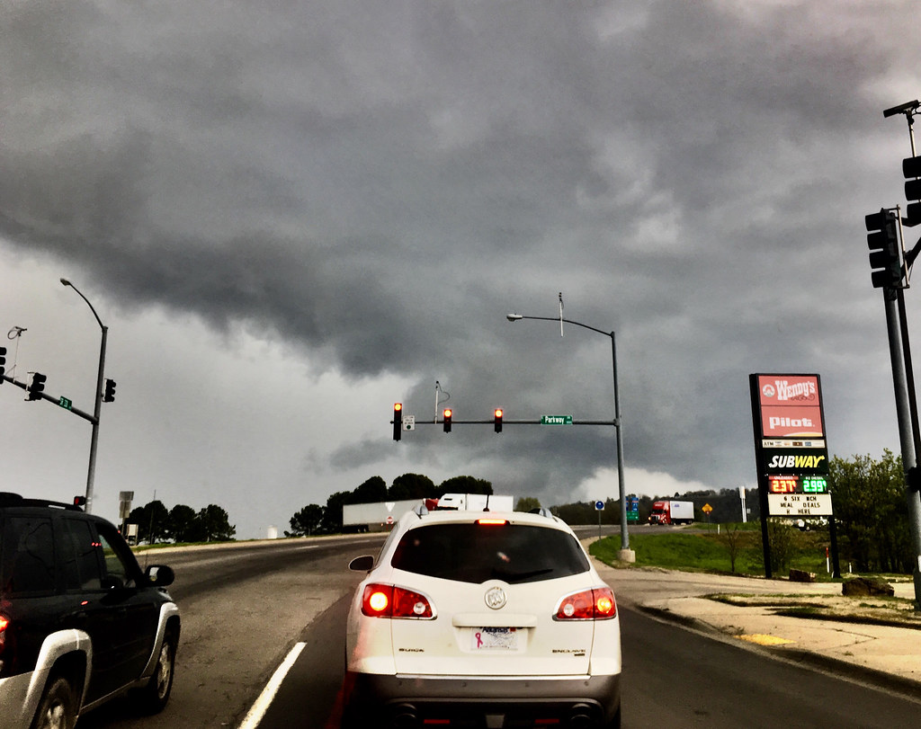
We’ve had our share of wet weather so far this year.

Now: Forbidding sky, front passing through Pope County, Arkansas north of I40 and Bailey Cove Rd. in Russellville, March 27, 2018 (Apple iPhone 6s)
______________________________________
San Rafael Swell (Wikipedia) – a large geologic feature located in south-central Utah about 30 miles (48 km) west of Green River, Utah.

Then: San Rafael Swell View Area, I70 rest area in Utah 35 miles west of Green River, October 2, 2015. (38°51’49.0″N 110°48’51.0″W)
The San Rafael Swell, approximately 75 by 40 miles (121 by 64 km), consists of a giant dome-shaped anticline of sandstone, shale, and limestone that was pushed up during the Paleocene Laramide Orogeny 60-40 million years ago. Since that time, infrequent but powerful flash floods have eroded the sedimentary rocks into numerous valleys, canyons, gorges, mesas and buttes. The swell is part of the Colorado Plateau physiographic region.
Interstate 70 divides the Swell into northern and southern sections, and provides the only interstate access to the region.
Photography Now & Then Notes:
- Series Photos
- The Now photo is one that is almost always taken the day of the blog post. In some instances, posts may be backdated if internet access is not available on the day of the photo or other reasons prevent posting Photography Now and Then.
- The Then photo is usually a randomly selected older photograph from a batch of photos specifically “curated” for Photography Now and Then.
- Each photo in this series is an “original work” – a copyright term – of Michael Goad.
- Reference links were accessed on the date the blog post was published, unless otherwise stated.
- The title convention for Photography Now & Then blog posts evolved early on from one word related to each photo separated by “&” to usually being the first word in the caption description for each photo.

