May has to have been one of the wettest months we’ve seen in the 35 years we’ve lived in Arkansas. I think we’ve received between 15 to 20 inches overall. Fortunately, it’s been spread out enough that flooding hasn’t been a significant issue in our part of the state, except widespread flooding in many areas along the Arkansas River.
Most of the water currently flowing through the river is from recent very heavy rain in Oklahoma and western Arkansas. Several Oklahoma dams that have been holding back water in their reservoirs to limit downstream flooding are at capacity and have had to start releasing the excess flowing in.
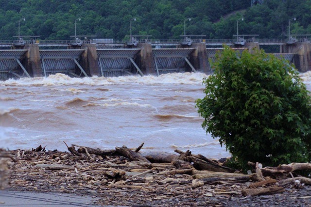
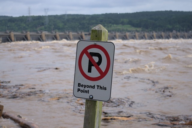
At Dardanelle Lock and Dam, the river has been roaring at around 360,000 cubic feet per minute for days, over 7 times its normal flow.

Dardanelle Lock and Dam is part of the McClellan-Kerr Arkansas River Navigation System. The normal difference in elevation between the pool above the dam – Lake Dardanelle – and the downstream pool is 54 feet (16 meters), the highest in the system.

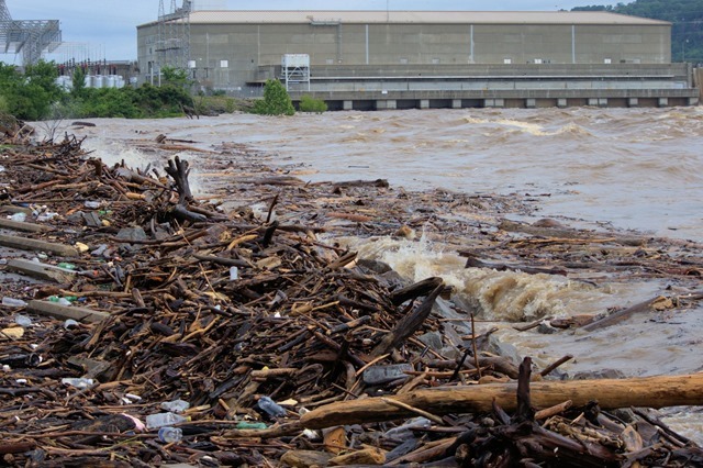
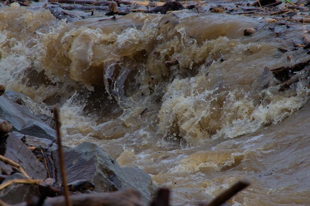
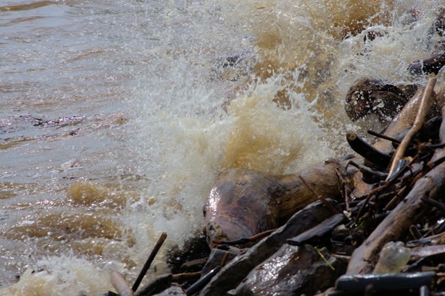
We’ve been over to view the river three times in the last week, including the south riverbank, just downstream of the dam. The flow through the spillways results in massive churning of the water and waves that carry river debris to the bank.


Comments on this entry are closed.
We here in Jersey are watching what is happening in your area. It is scary how much water comes down. We pray for you guys, be safe!
The crest is past and, for us, living in the hills, there never was any danger.