Photography Now & Then #56
Finally, a day without rain – and the next rain chance is a couple of days away. There was even some sunshine today. The “rain event” was over.

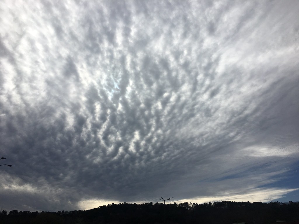
Now[1]: Clouds over Norristown Mountain, Pope County, Arkansas, February 25, 2018 (Apple iPhone 6s)
Flooding Rain February 20-24, 20182
Drought continued over northern and western Arkansas heading into late February. However, it appeared there was significant relief coming, with a lot of rain in the forecast. A front set up between cold air to the northwest and very mild air to the southeast. The front wobbled across the region from the 20th through the 23rd, and was surrounded by a lot of moisture.
In fact, forecast models showed there was at least twice the usual moisture for late February. Given a tremendous amount of liquid to wring out of the clouds, and with downpours lasting for several days, flash flooding and eventual river flooding became huge concerns.
The front slammed into Arkansas from the northwest on the 20th, and the deluge began. It felt like spring ahead of the front, with high temperatures reaching 82 degrees at Monticello (Drew County), and 81 degrees at El Dorado (Union County), Little Rock (Pulaski County), and Pine Bluff.
The front pushed toward southeast sections of the state on the 21st, and rain dumped over the central and southern counties. On the 22nd/23rd, the front returned slowly to the north, and so did the rain. By the 23rd, there was no sign of subfreezing temperatures, with readings into the 50s and 60s across the state.
After a brief lull during the night on the 23rd, we were walloped by one more gully washer on the 24th. This was produced by a new storm system that came out of the Rockies and tracked from the southern Plains to the mid-Mississippi Valley.
By 600 am CST on the 25th, four to more than ten inches of rain was measured. At many locations, this was two months of rain in just a few days.
Our total was 11 inches. We’ve had more rainy days this month than any in quite a while. We’re ready to dry out.
______________________________________
In late September, 2008, we were on our way home after spend in a good part of the month in Wisconsin, including two visits with our daughter, son-in-law and grandkids.

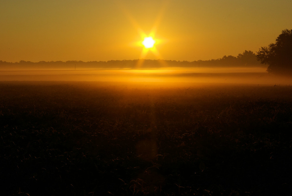
Then[3]: Sun rising and ground fog over field adjacent to Springfield, Illinois KOA, September 27, 2008 (Pentax K10D)
According to Weather Underground, the low in Springfield that morning was 48°F, with sunrise at 6:51 AM.
While we prefer to stay in public lands campgrounds – national or state forests and parks, when traveling from one place to the next, we sometimes settle for KOA campgrounds. Unfortunately, many of these are located right next to an interstate and the noise of traffic. The KOA east of Springfield, Illinois, though, is located in a very rural area, away from all the noise. Unfortunately, on this visit, the campground was also a temporary home for pipeline workers, some of whom were up before dawn to head to work. As I recall, one of them started his diesel truck and left it running for an extended period before finally driving off.
Since the noise woke me up, I was out and ready to take pictures before the sun came up and I got several decent pictures.
- Now photo is a one that is almost always taken the day of the blog post. In some instances, posts may be backdated if internet access is not available on the day of the photo or other reasons prevent posting Photography Now and Then.
- NWS Little Rock, AR – Flooding Rain/Severe Storms on February 20-24, 2018 – National Weather Service
- Then photo is a randomly selected older photograph from a batch of photos specifically “curated” for Photography Now and Then.
Notes:
- Reference links were accessed on the date the blog post was published, unless otherwise stated.
- The title convention for Photography Now & Then blog posts evolved early on from one word related to each photo separated by “&” to usually being the first word in the caption description for each photo.

