Driving the Absaroka Range in Montana and Wyoming, August 14, 2014
With having to go to Cody for a water heater drain plug and inclement weather threatening, a drive over the Beartooth All-American Highway appeared doubtful early in the day.
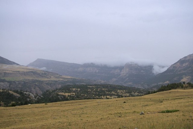
Heading up toward Dead Indian Pass on Chief Joseph Highway, the tops of nearby mountains were hidden in the clouds.
In Cody, we finally found an RV repair shop, which wasn’t where the GPS and iPhone Seri thought it should be. The technician had a hot water heater plug that was a bit more in size and expense than we needed, but we needed the plug.
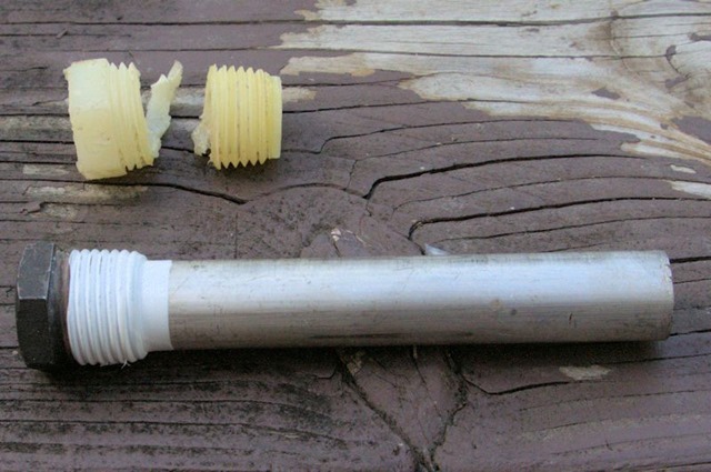
The extra length of metal is a zinc anode. It’s job is to corrode away in a tank instead of the iron of the tank corroding. It’s sometimes called a sacrificial anode, because it is sacrificed to protect the tank. However, since our water heater is aluminum, the zinc is not necessary. A cheap plastic plug would have worked just fine. Oh, well.
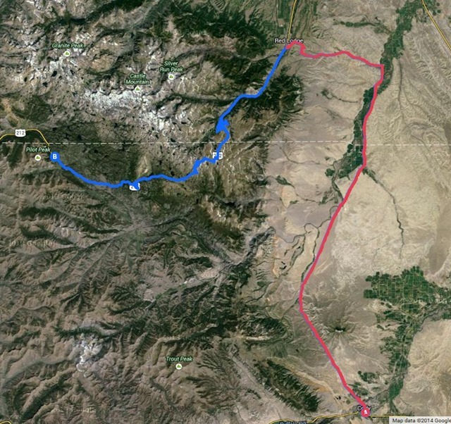
After lunch at Pizza Hut, we decided that the weather had cleared enough that we could go back to the campground by way of Red Lodge Montana, in red, and, then, Beartooth Highway, in blue.
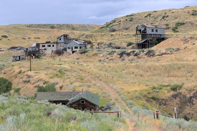
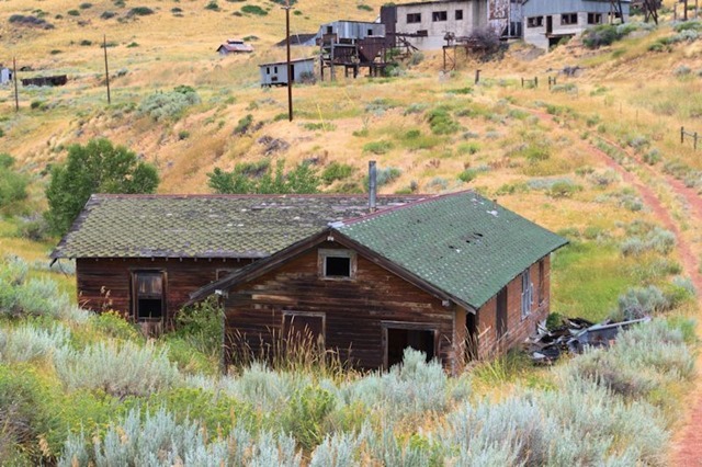
The route to Red Lodge took us past the old Smith Mine, the site of the worst coal mining disaster in Montana – February 27, 1943. (Wikipedia)
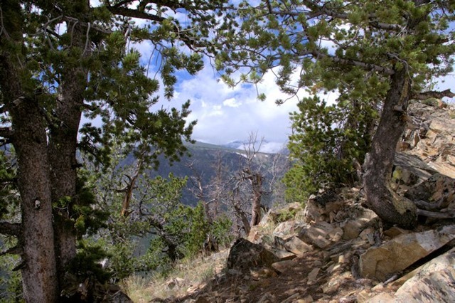
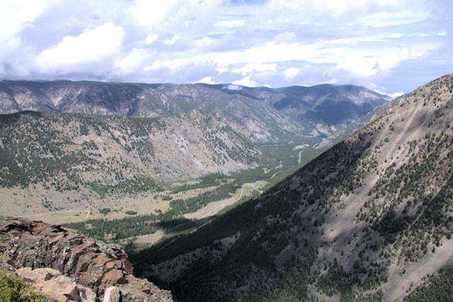
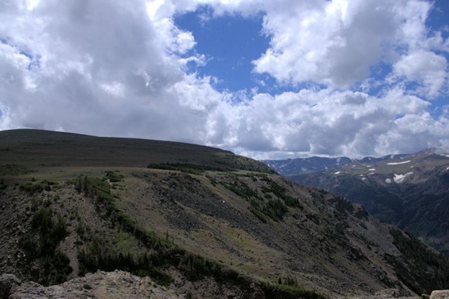
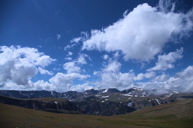
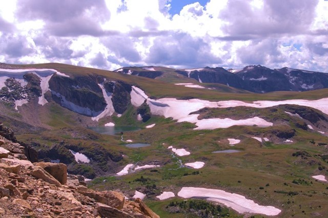
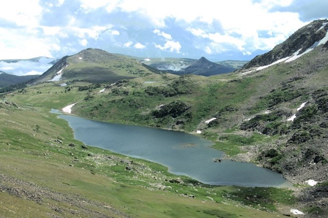
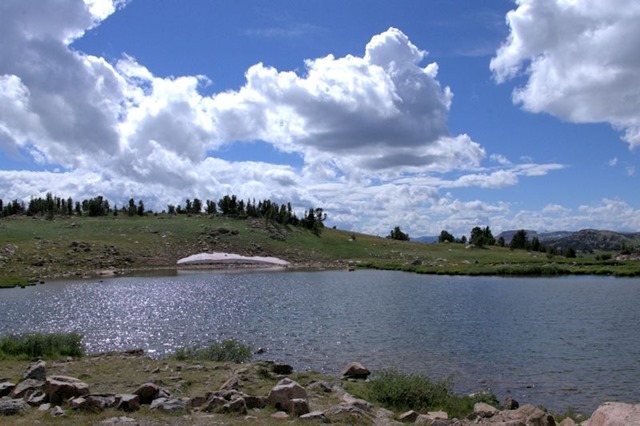
The Beartooth Highway was once called “the most beautiful drive in America,” by the late CBS correspondent Charles Kuralt. Because of heavy snowfall at the top, the pass is usually open each year only from mid May through mid October, weather conditions permitting. (Wikipedia)
We travelled the Beartooth back in 2007, after which I wrote, “The drive from our campground to Cooke City was 125 miles. We’ll probably do it again someday, but we’ll be staying someplace closer — because it was also 125 miles back to Billings.”
Despite the extra mileage to Cody and then to Red Lodge, our 2014 driving day was much shorter than the 2007 visit.
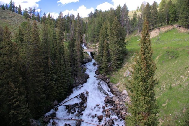
Not too far from the campground, we came across a beautiful waterfall I remembered from our drive across Beartooth in 2007.
Next: We head into Yellowstone

