Three from the Road #24 – 2010 trip1
After leaving Fort Fetterman State Historic Site, we drove by way of backroads to Ayres Natural Bridge Park, a free public park owned and operated by Converse County. Ayres Natural Bridge is about 10 miles south of the Fort Fetterman site.
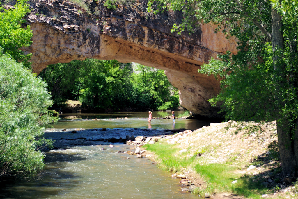
Ayres Natural Bridge, Converse County, Wyoming, July 10, 2010
The 150 acre Ayres Natural Bridge Park is a green oasis located in LaPrele Canyon in the grass and sagebrush covered Casper Sandstone Formation of east-central Wyoming. Red rock sandstone cliffs surround the canyon. A sandstone natural bridge spanning LaPrele Creek is in a rock ridge around which the stream once flowed. At some point, the creek found a fissure or opening through the rock and began eroding it into the present remarkable natural bridge. With a span of 90 feet2, the bridge is considered to be a “young” meander type natural bridge or arch3.
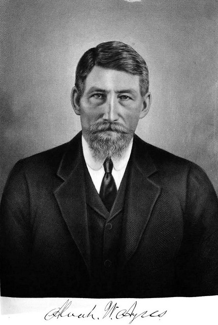
Land for the park was from the ranch of Alvah W. Ayres, who had settled the land in 1882, after working twenty-two years as freighter in Colorado, the last four of which he ran his own business4, It was donated in accordance with his wishes, by his son and daughter-in-law in 1920 to Converse County, to be maintained perpetually as a free public park and to be known as the Alvah W. Ayres Natural Bridge Park.5
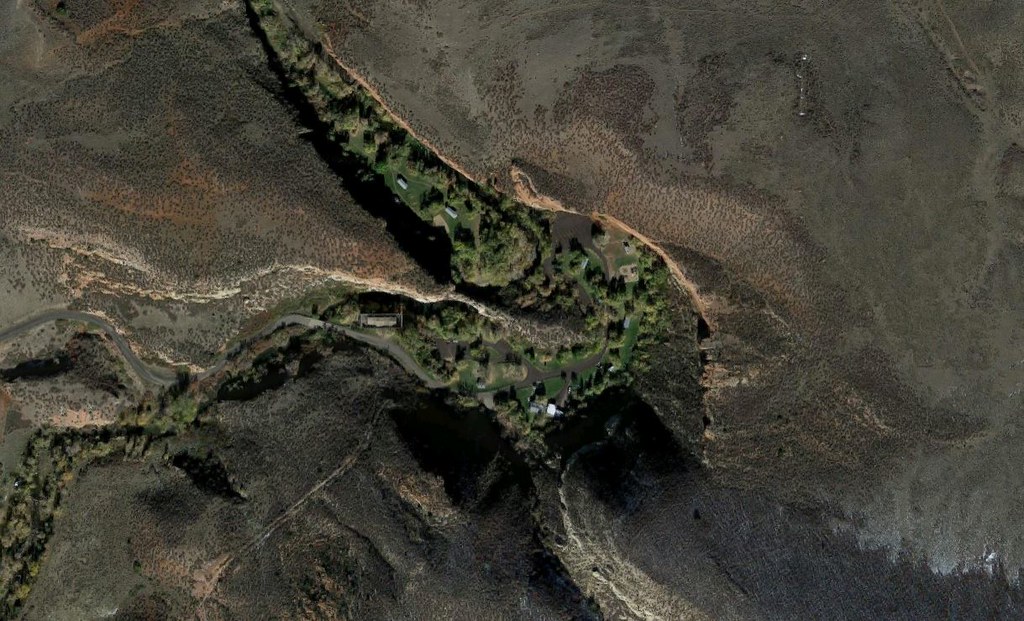
Satellite View Ayres Natural Bridge Park (from Google Maps)
Much of the park is level and green, a recreation area in a nature formed amphitheater.
It is a popular site for wedding ceremonies, family reunions, church picnics and other gatherings.
While its original discovery is unknown, it was a known landmark in the early 1940s for settlers traveling west on the emigrant trails, then only about two miles to the north, though it was difficult to access and rarely visited6.
Situated almost exactly one mile above sea level, the park is closed during the winter months, open from April through October. The park includes a picnic area, a sand volleyball court, fishing spots, horseshoe pits, and a twelve free camp sites. There are five large covered picnic shelters which must be reserved in advance.
Though the park is very family oriented, it is not pet friendly. Numerous problems with dogs running off-leash led the park to ban dogs completely in the late 1990s.
For birders, the many trees, willows and shrubs along the stream appeal to a wide array of bird species. Christina Schmidt, in a June 8, 2011 Casper Journal article7 writes,
After just an hour, I had seen several yellow warblers, black-headed grosbeaks, goldfinches, a gray catbird, a kingfisher and at least two swallow species, including the brilliantly colored violet-green swallow. An afternoon spent on one of the numerous benches with binoculars and a bird book would surely have doubled my list.
As many swallows as you would care to count use the area and their mud homes can be seen perched precariously on the surrounding cliffs and under the roof of the adjacent abandoned North Platte Irrigation Company power plant. Everywhere I looked, dozens of swallows were in constant movement, skimming the water surface for bugs and then heading high up to their nests. When I scrambled up the short path to the top of the bridge, the swallows seemed to increase in number and in bravery, since I was now in their territory and several swooped repeatedly just a couple feet from me.
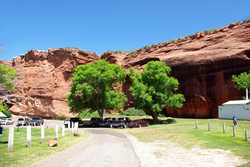
Ayres Natural Bridge Park, Converse County, Wyoming, July 10, 2010
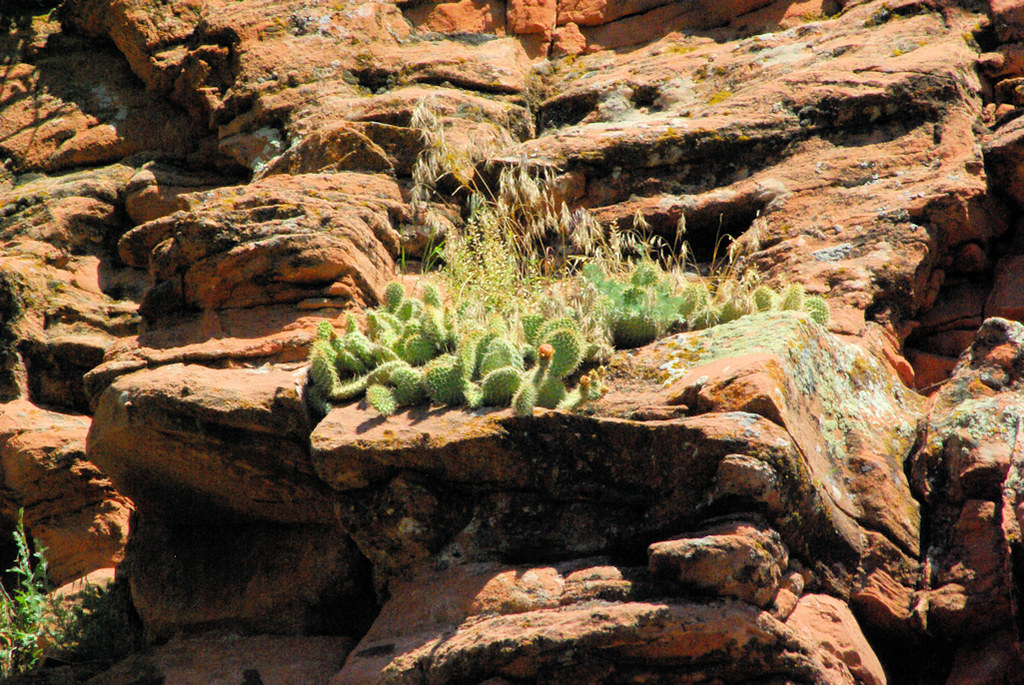
While the red sandstone walls of the canyon seem barren, swallow nests abound along the walls and plant life, including cactus, find purchase on ledges and in cracks.
Endnotes
- Three from the Road is a series sharing images from places we’ve visited. Initially, each post included thee images, related by a randomly selected location or topic. Posts now may be random choices or pre-planned sequences. This post is in a series sequentially sharing images from our 2010 trip west.
- Ayres Natural Bridge (NABSQNO 13T-449893-4731482) – National Arch and Bridge Society
- Meander Natural Bridge – Natural Arch and Bridge Society
- History of Wyoming, Volume 3, edited by Ichabod Sargent Bartlett, S. J. Clark Publishing Company (accessed 6/10/2017 Google Books)
- Douglas Enterprise, October 28, 1919, page 1 (newspaper clipping accessed 6/10/2017)
- Natural Bridge and the Oregon Trail Marker – The Historical Marker Database
- Staycation: Don’t pass up Ayres Natural Bridge – Casper Journal, June 8, 2011
References
- Wyoming Places – Includes report by F.V. Hayden on day visit to bridge from Fort Fetterman and 1870 photographs by William Henry Jackson
- WyoHistory.org


Comments on this entry are closed.
This seems like a very cool spot to visit and relax for a couple days, I’m going to pencil it in for my next roadtrip on the motorcycle! LaPrele Canyon is a real contrast to the rest of Wyoming!
I agree. It was a real surprise for us when we visited. We like seeing arches and natural bridges and had found this one on a map to see if we had a chance. We ended up spending a couple of hours there.