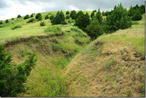
In an earlier post, I asked, “What caused this ravine?”
Very simply, it was caused by traffic of people traveling to the western part of the United States with wagons. Specifically, the ravine started as a set of wagon ruts cut through the grass and sod by heavy iron-shod wheels.

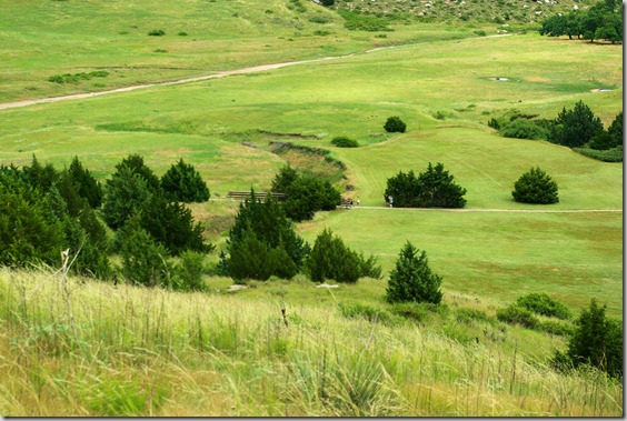
The hill where the ravine is located is called Windlass Hill where, according to legend more than factual history, wagons were eased down the incline using a windlass. It is located at a point where emigrants on the Oregon Trail (also the California Trail) left the dropped into and valley along the North Platte River that is called Ash Hollow.
In the photo below, you can see where the trail curved to the left at this point. The bridge in the lower picture is where the top photo was taken from.

