Post-processing #32 |

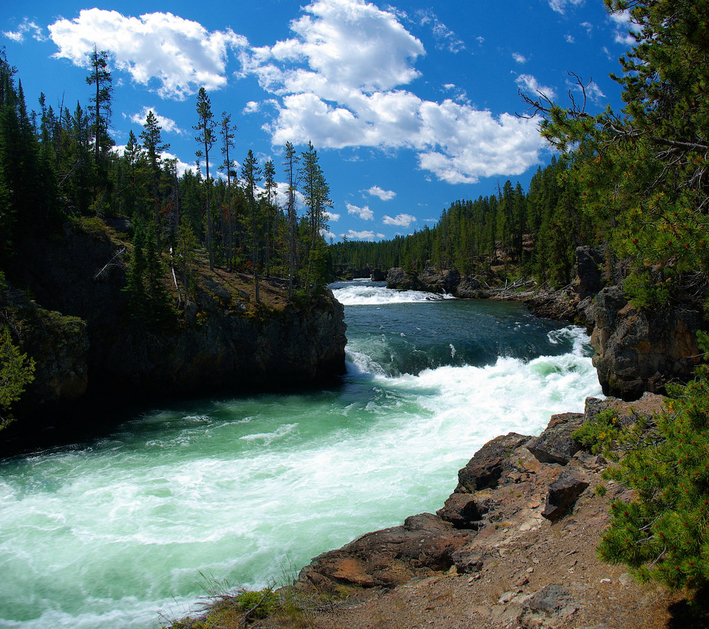
Yellowstone River, just above the brink of the Upper Falls of the Yellowstone, Yellowstone National Park, August 4, 2010; panorama from two (Pentax) photos using Autostitch
As the Yellowstone river flows north from Yellowstone Lake, it leaves the Hayden Valley and plunges first over Upper Yellowstone Falls and then a quarter mile (400 m) downstream over Lower Yellowstone Falls, at which point it then enters the Grand Canyon of the Yellowstone, which is up to 1,000 feet (304 m) deep.
Flow can vary from 680 cu ft/s (19 m3/s) in the autumn, to 8,400 cu ft/s (240 m3/s) at peak runoff in late springtime. The 2009/10 snowpack had been significant and combined with a wet spring, the lake level was high with high flow through the river when we visited in August.
Notes:
Post-processing – Image editing to enhance the photo closer to what the eye “saw.” Images in this series are selected within a day or so of being edited and are either posted at the time or scheduled for posting at a later date.

