Post-processing #33 |
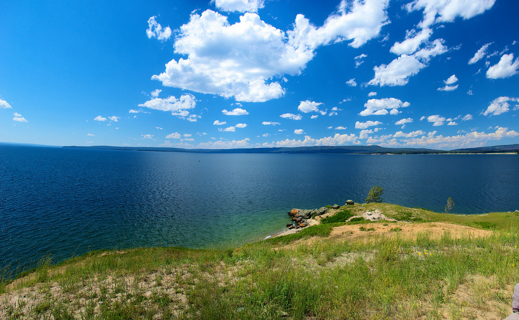
Yellowstone Lake at Mary Bay, Yellowstone National Park, Wyoming, August 4, 2010 (Composite image of 3 Pentax K10D photos using Autostitch)
Yellowstone Lake Geology1
Lake-bottom surveys (1999 to 2007) of Yellowstone Lake have confirmed that the north half of the lake is inside the Yellowstone Caldera. The survey also mapped “previously unknown features such as large hydrothermal explosion craters, siliceous spires, hundreds of hydrothermal vents and craters and fissures” as well as “young previously unmapped faults, landslide deposits, and submerged older lake shorelines. These features are part of an undulating landscape shaped by rhyolitic lava flows that filled the caldera. The southern half of the lake lies outside the caldera and has been shaped by glacial and other processes. The floor of the Southeast Arm has many glacial features, similar to the glacial terrain seen on land in Jackson Hole, south of the park.”
“These new surveys give an accurate picture of the geologic processes shaping Yellowstone Lake and determine geologic influences affecting the present-day aquatic biosphere. For example, hydrothermal explosions formed craters at Mary Bay and Turbid Lake. Spires may form similarly to black smoker chimneys, which are hydrothermal features associated with oceanic plate boundaries.”
Reference:
Note:
Post-processing – Image editing to enhance the photo closer to what the eye “saw.” Images in this series are usually selected within a day or so of being edited and are either posted at the time or scheduled for posting at a later date.


