Two Rivers Park
When we visited: October 10, 2013
Where we stayed: This visit was on a day trip from home.
#1 tip: This is an urban park – Lock your car
#2 tip: If it’s not a cool day take water with you.
Two or three times a year, sometimes more, we take a day trip to Little Rock. Sometimes it’s for a doctor appointment, sometimes it’s for shopping, dining, or a movie, usually a combination of things. Sometimes we even do some sightseeing or take a hike.
Several times, crossing the Arkansas River on I430, we noticed a new bridge being built to what I had thought was an island. After one Little Rock visit, we decided to check out the new bridge and and the park it goes to (not new).
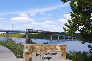
It turns out that the bridge doesn’t go to an island. It crosses the Little Maumelle River just above where it empties into the Arkansas.
Two Rivers Park is located at the confluence of the Arkansas River and the Little Maumelle River. The Two Rivers Park Bridge is a pedestrian and bicycle bridge that connects the Little Rock shore of the Little Maumelle River west of I-430 to trails at Two Rivers Park.
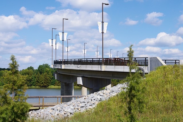
I learned pretty quickly on this short hike that my lack of working out had taken a toll. I was quite worn out by the time we finished.
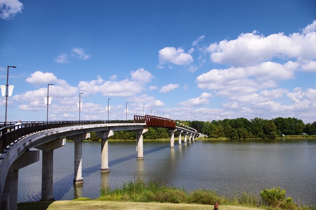
The park is actually a tract of land jointly owned by Pulaski County, about 550 acres of open fields, and the City of Little Rock, about 450 acres of mostly wooded wetlands. Trail systems have been developed in both areas, including a section of the Arkansas River Trail. Eventually, the Arkansas River Trail will connect Two Rivers Park to Pinnacle Mountain and the Ouachita Trail.
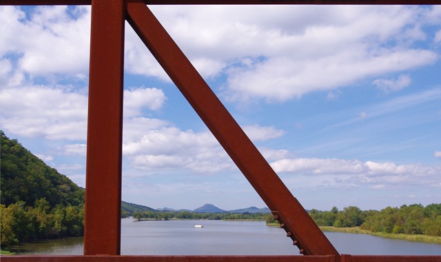
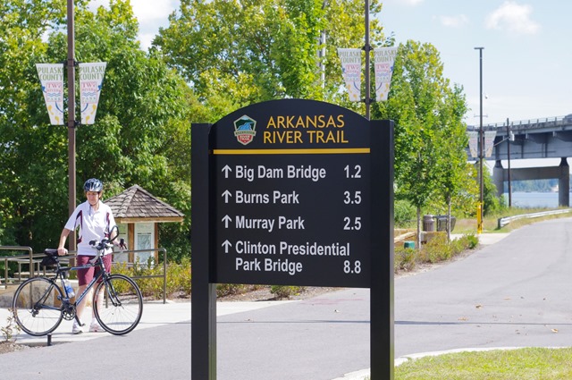
The middle section of the bridge is designed to mimic a railroad bridge. Two of the four river bridges on the Arkansas River Trail are repurposed vintage railroad bridges downtown, the Clinton Presidential Park Bridge and the Junction Bridge. The fourth bridge, Big Dam Bridge, was built over Murray Lock and Dam.
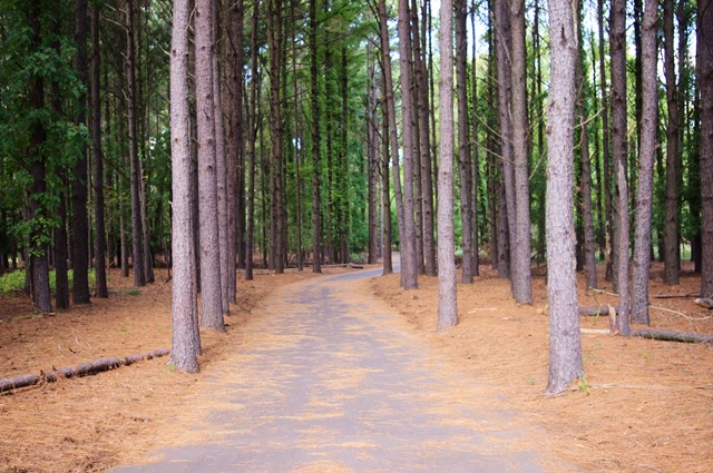
The trails in the park for as far as we went are nice and wide, clearly durable, built for walking, running, biking, and skating. One thing that was lacking once we got over the bridge were signs – or, at least, so far as we could see. We really had no idea how far the trail would go or what was past those trees up ahead.
(Apparently, a trailhead map was installed a month after we visited.)
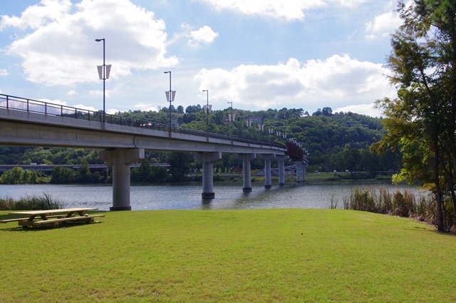
After we came to a tee in the trail, I checked the map app in my iphone to see if it would show the trail. Sure enough, it did – and showed us where we were. On the left, the trail kept on going, while the leg on the right looped back to an open grassy area at the bridge.
We went right.
Before we headed back across the bridge, we rested for a bit on a park bench that faces down the Arkansas River and had a snack.
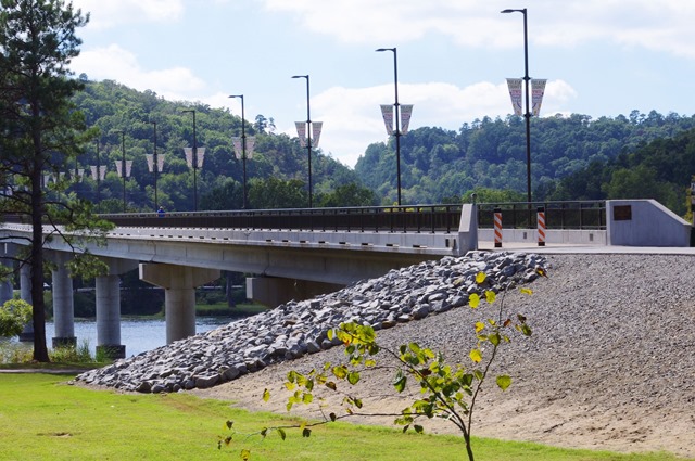
The Arkansas River trail east from Two Rivers Park travels on both banks of the Arkansas River from the Big Dam Bridge on, with the furthest point at the Clinton railroad bridge.
Two Rivers Park is said to be a great place to paddle, hike, bike, bird and ride horse. It also has a huge community garden area where locals rent plots. Besides overhead lights for safety, the bridge is illuminated at night by colored LED lights.
More information:
- Two Rivers Park website
- About.com
- Bicycle Rentals

