Arches National Park
Gallery – Arches National Park
(click on image for larger version)
Wikipedia: Delicate Arch
Delicate Arch is located at the end of a moderately strenuous, 1.5 mi (2.4 km) hiking trail from the parking area at Wolfe Ranch. Taking thirty to forty-five minutes each way, the round trip is slightly more than 3 mi (4.8 km) long and the Arch is completely hidden from view on this trail.
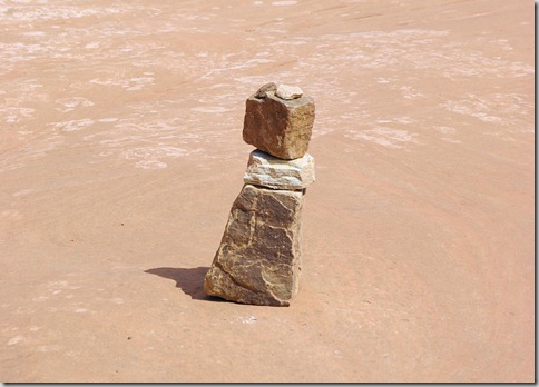
The first third of the hike is through rugged, brushy terrain and gains slightly in elevation. The middle third of the hike is along the face of an exposed slickrock outcrop and is strenuous due to the gain in elevation, but offers better views of the geology in the salt valley. Cairns (piles of rocks) have been placed by visitors and park staff to roughly suggest the otherwise unmarked trail to the top, yet visitors tend to wander all over the huge expanse of completely exposed sandstone. The latter third of the trail is the most rugged, as hikers have now nearly reached the "top" of the plateau. The Arch is still invisible, and the trail runs around outcrops, through washes and between stands of twisted brush and trees. The trail may be easier to follow, but meanders as parts become muddy and difficult to walk through.
See more of our Image Galleries at Haw Creek.

